ANDRIA MARINUS
Mr. Chakradhar Saswade
andria_m@nid.edu
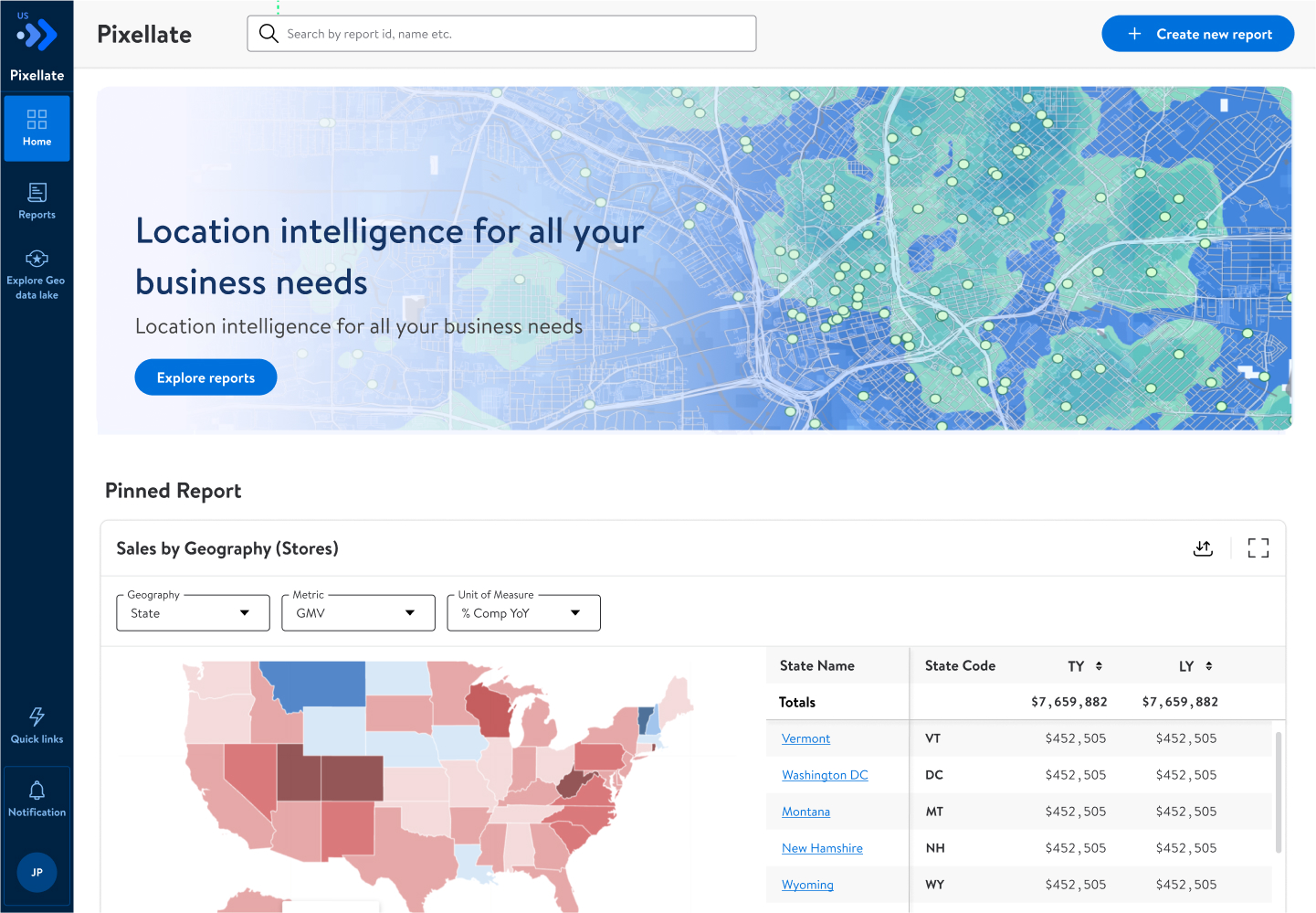
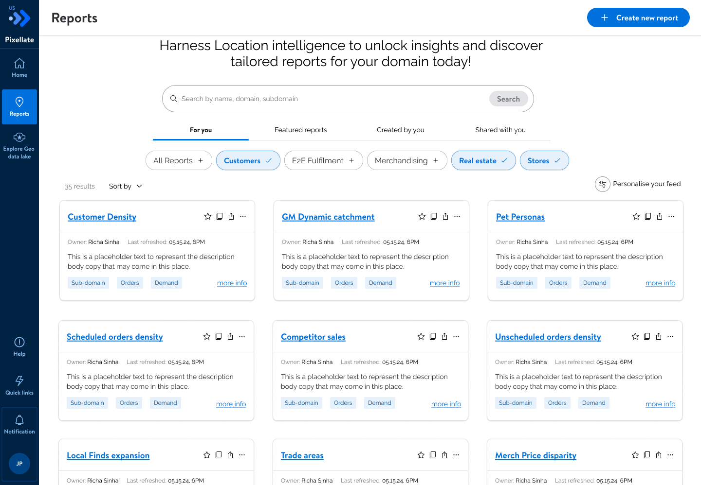
This graduation project focuses on designing a geospatial analysis and reporting platform for Walmart, aimed at enabling associates across roles to easily generate, interpret, and act on spatial insights. Given Walmart’s extensive physical footprint, large volumes of location-based data exist across retail, supply chain, merchandising, and last-mile delivery functions; however, existing spatial tools are often fragmented, technical, and inaccessible to non-specialist users. The project addresses this gap by proposing an intuitive, role-aware platform that simplifies spatial analysis workflows and supports the creation of map-based reports. The solution envisions an H3-based spatial indexing model integrated with internal retail data, enabling geographic exploration of performance metrics. To enhance decision-making, the platform incorporates AI-driven suggestions that surface patterns, recommend visual formats, and flag location-based anomalies. Supporting descriptive, predictive, and prescriptive insights, the system leverages experience design, data visualization, and information architecture to make spatial intelligence more accessible, interpretable, and actionable at scale.